
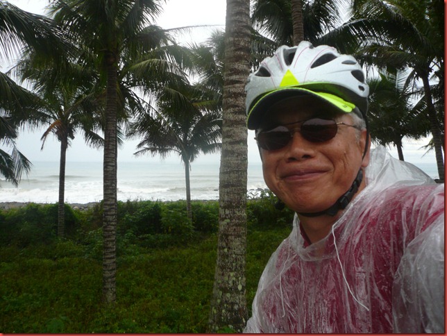
The rain had started the night before and never let up. I was previously told wearing any raining gear only made you sweat more due to insufficient ventilation. So when I rode through a similar rainfall two days ago, I didn't wear any rain protection gear. I didn’t enjoy having something wet sticking to my body all day, so today I decided to wear a plastic poncho from 7-11.
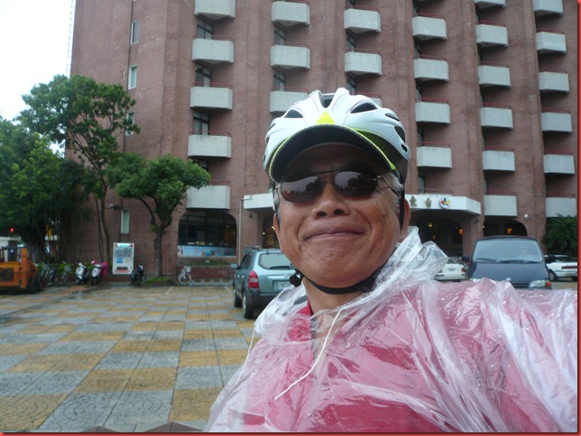
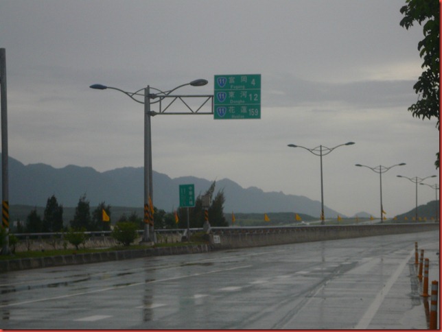
The road was very wet and the rain never stopped falling. Since I had a full rest the night before there was no excuse for me to pause and not continue. The road must be traveled and I was the fearless and foolish soul to do it. I would take Highway 11, the coastal route, going north.
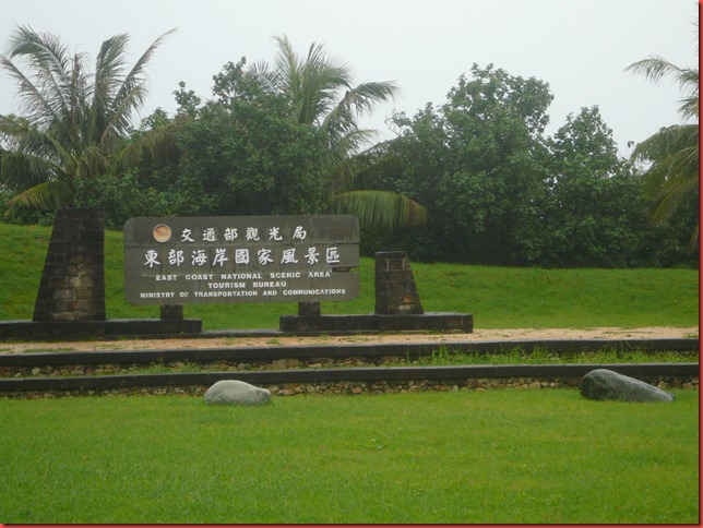
An official sign marking the beginning of “East Coast National Scenic Area” (東海岸國家風景區).
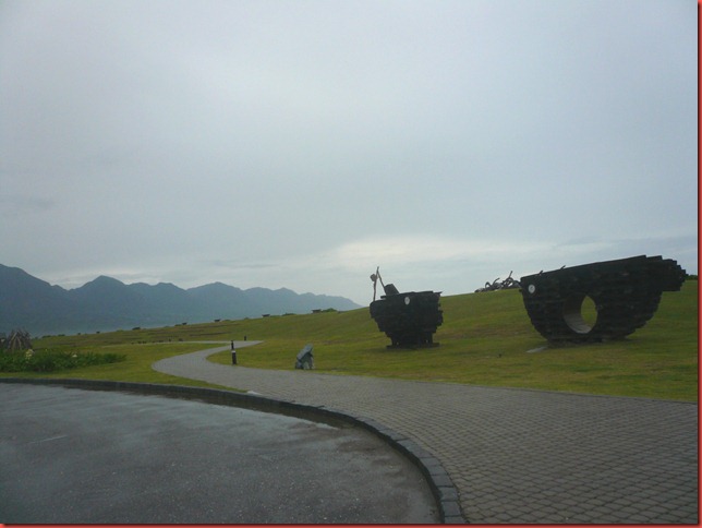
A rest stop with wooden sculptures made of the driftwoods from the last typhoon. The rain has stopped temporally so I grabbed the chance and took some pictures.
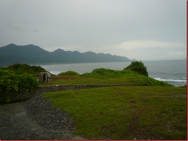
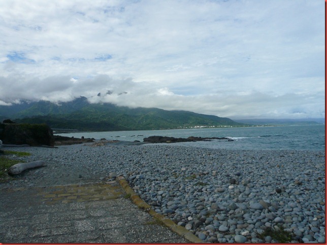
A very tranquil scenery of the Pacific coastline. Along the Pacific coast, I was continuously greeted with this kind of picturesque scenery and never got tired of it.
The wind was still strong but not too forceful, as evidenced by the ocean waves in the background. The rain was still falling, the road was wet, and the pedaling was tiring. But the smile was genuine, the elation abundant, and a life well blessed.
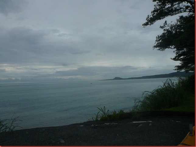
Another view of the Pacific coastline. The sky was covered with heavy overcast and everything looked dark.
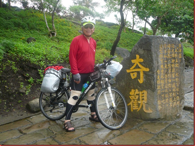
A geological oddity, “Water Flowing Upward” (水往上流), is a ditch for irrigation near Highway 11. Because of peculiar slanted angles of other objects around this ditch, a visual illusion makes water in this ditch look to be flowing upward. In the picture, water was flowing from left to right, hence seemed to be flowing upward. The two big Chinese characters 奇觀 carved on the stone mean “strange phenomenon”. I felt it fitting to describe the cyclist himself – a lonely old man strangely and shamelessly doing a young man’s pursuit – an anomalous happening.
A postcard view of a quaint building with the Pacific as the backdrop.
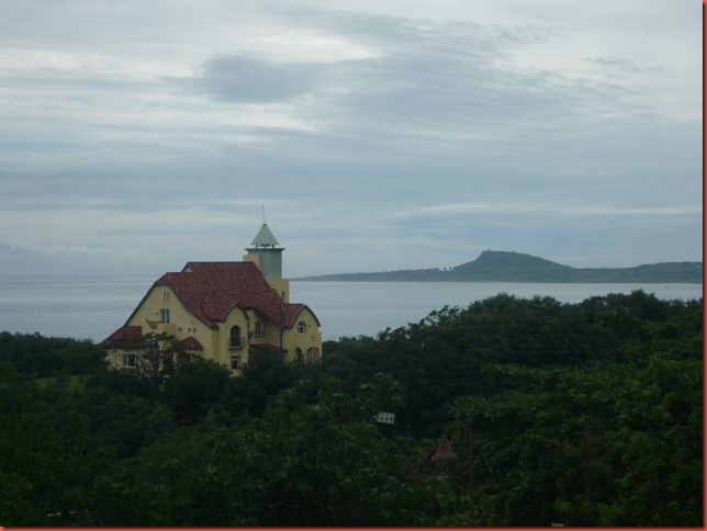
Endless seascapes of unparalleled splendor.
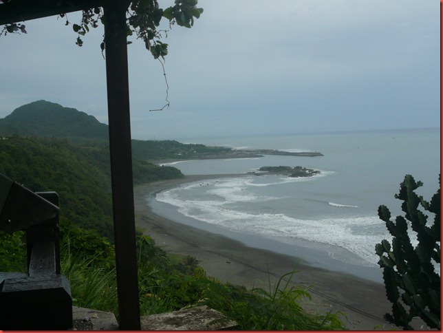
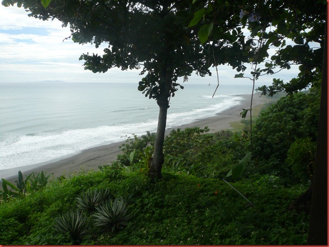
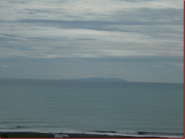
At a distance is the Green Island (綠島), a beautiful isle stained regrettably by a notorious prison set up by Chiang-Kai-Shek (蔣介石) to lock up political prisoners when he ruled Taiwan with iron fists. The prison is now a human right memorial park and the island itself is open for tourists.
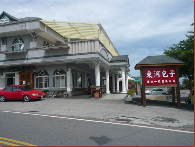
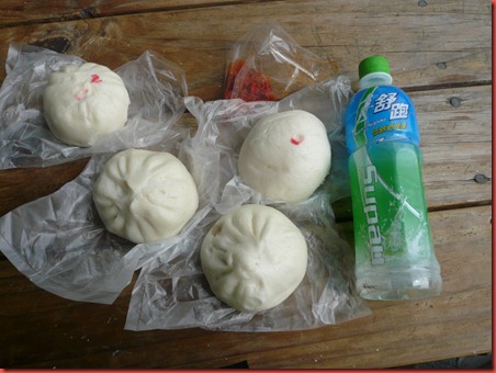
By lunchtime, the rain finally stopped and I soon reached the roadside restaurant for famous Dong-He Steamed Buns (東河包子). There were varieties of steamed buns with different kinds of fillings. I ordered ones with pork, vegetables, and red beans. They were all very tasty. The bottle was of a local sports drink.
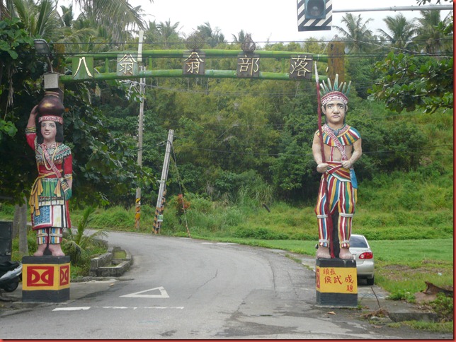
One of many colorful entrances to tribal villages along Highway 11.
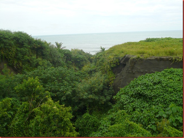
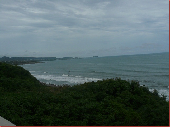
Highway 11 briefly turned toward inland and away from the coastline, but the Pacific was still very visible.
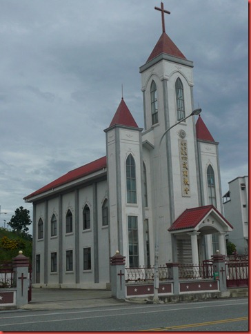
Along Highway 11, it is sparsely populated, and tall structures are not a common sight. This church for The Presbyterian Church of Taiwan (台灣基督長老教會) is noticeable from far away.
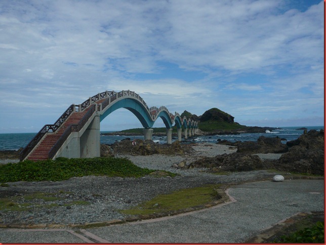
San-Sian-Tai (Three Immortal Platform 三仙台), a scenic spot along Highway 11. A multi-arch footbridge leads to several islets off the coast.
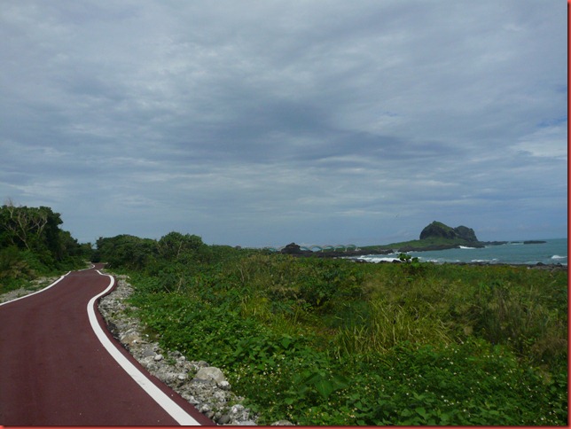
There are many well laid-out and well-maintained bike paths around San-Sian-Tai. I was able to roam around this scenic area with ease.
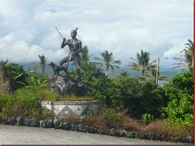
A statue of an armed hero stands at the entrance to an Ami (阿美族) tribal village.
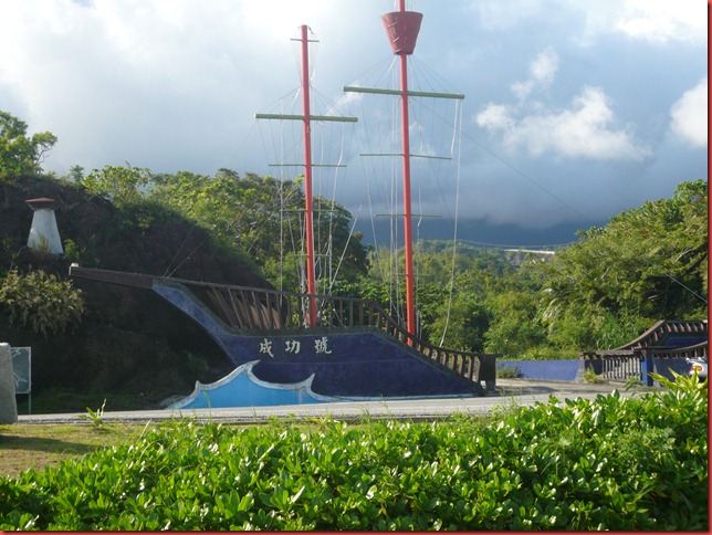
Another observation platform on the side of Highway 11 with a spectacular view of the Pacific. The boat replica is a territorial mark of a town called Chenggong (成功), a large township along Highway 11.
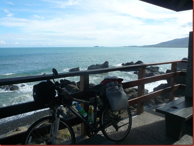
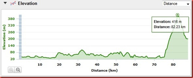
I turned east onto Yu-Chan Highway (玉長公路) to go from the coastal area toward East Rift Valley (花東縦谷). This highway cuts across mountain ranges, and it connects Highway 11 (coastal route) to Highway 9 (mountain route). It goes from the sea level to an elevation of 416 meters (about 1365 feet) in a very steep incline through many switchbacks. The picture shows one such switchback.
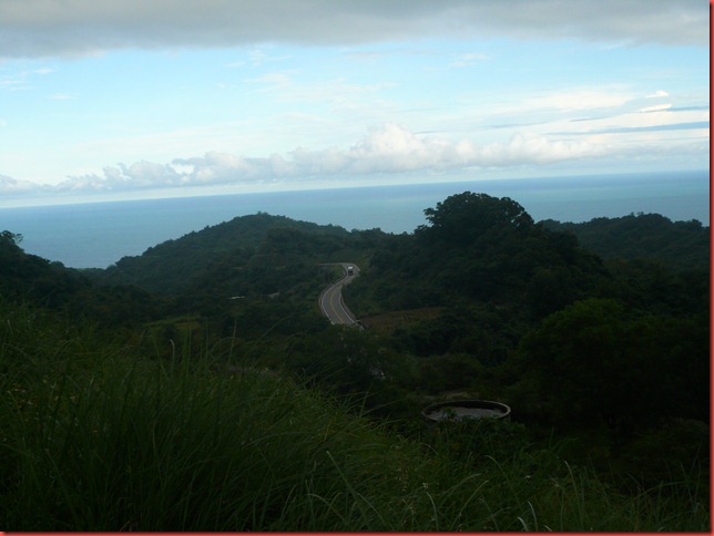
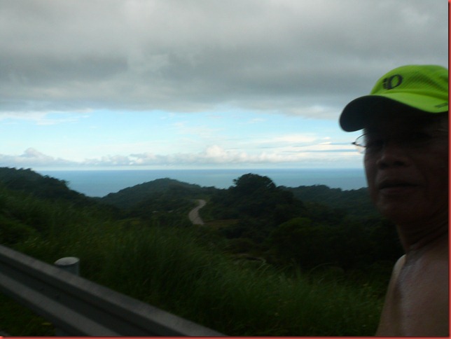
The climb was so steep I was huffing and puffing non-stop. Suddenly I felt so hot and my body was in extreme heat. I was on fire and was about to explode.
Then I did the only thing I could to save me from appearing as headline news in tomorrow’s newspaper: “Old man severely burnt from cycling-induced self-combustion”. I took off my bike jersey and went topless.
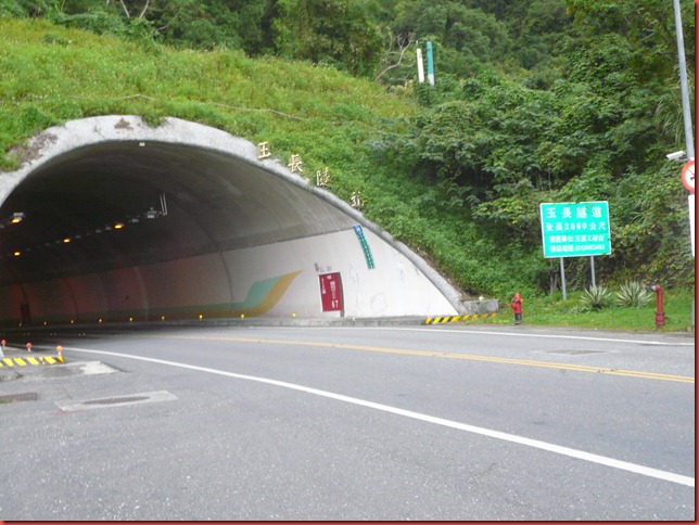
On top of Yu-Chan Highway is Yu-Chan Tunnel (玉長隧道). The length of the tunnel is 2660 meters and it is the 5th longest tunnel in Taiwan. It was completed in 2007.
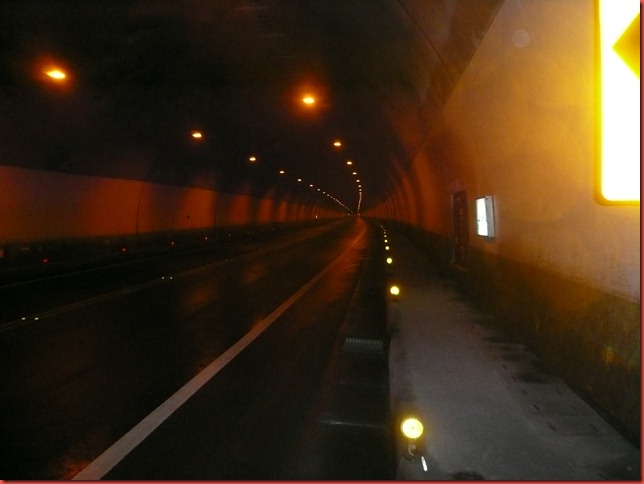
Because the tunnel was completed recently, it is well lit and wide. The lane on the right is for motorcycles and bicycles. I felt very safe when riding inside this tunnel.
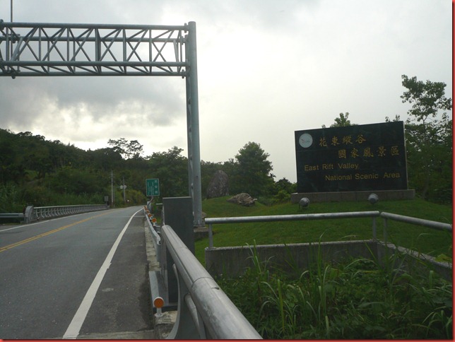
Out of the tunnel, the highway starts to descend. The sign for “East Rift Valley National Scenic Area” (花東縦谷國家風景區) appears.
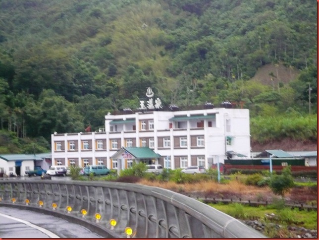
At the bottom of Yu-Chan Highway is a hot spring village called Antong (安通). I checked into Yu Hot Spring Hotel (玉溫泉玈館). I got a room of very good size with its own hot tub for NTD $1200 (about USD $40). The outdoor hot spring facility includes a spa with various kinds of water jets. I enjoyed the spa very much.
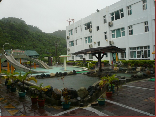
There was no restaurant in this village open for business tonight. I ended up eating at the hotel with a simple plate of fried rice and a small bowl of fish ball soup.
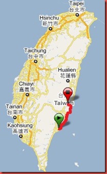
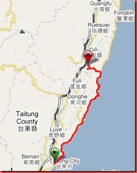
The first map shows the full island of Taiwan. My bike ride for the day is from 5 o’clock position to 4 o’clock position. The second map gives a closer view of my ride.
Vertical profile of today’s ride. The last 16 kilometers involved a steep climb up to 416 meters in altitude.
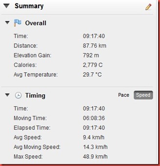
Summary of today’s ride. The distance traveled was 87.8 kilometers with an elevation gain of 792 meters.
-Joe
Next: 20101021 Day 05 - Joe's Cycling around Taiwan (Antong 安通 back to Kaohsiung 高雄)
Wow, what a great post! Not bad for an old dog. Not bad at all.
ReplyDeleteThis old dog, though not able to learn any new trick, could still manage to pull off an act of cycling around the island. I am surprised by myself too. It proves that you are never too old until you think you are.
ReplyDeleteHi Joe, what is the distance of 玉長公路 from Tai 11 to Tai 9? Thanks, Ben
ReplyDeleteThe length of Yu-Chan Highway from Highway 11 to Antong Hot Spring is 8.5 miles (13.6 km). It is 4.9 miles (7.8 km) incline from the coast to the tunnel, the highest point. You can find the map of Yu-Chan Highway and the elevation graph at http://www.bikemap.net/route/111194#lat=23.26059&lng=121.37953&zoom=14&type=2.
ReplyDeletehi there sir! it's an interesting journey you have taken! would you recommend a bike ride from taitung to hualien? how many days would it take? stops? i personally would love highway 11. looking forward to your reply!
ReplyDeleteThe distance between Taitung and Hualien is 170 kilometers. It takes either 2 or 3 days to finish it. From what I heard, Highway-11 (the coastal route) north of Chang-Bin (長濱) to Huanlien is sparsely populated and logistics may be difficult. I took Highway-11 from Taitung to Chenggong (成功) for its beautiful coastal view; then detoured via Highway-30 (Yu-Chan Highway 玉長公路) to get to Highway-9 for its mountain scenery. If I ever ride again and for a different experience, I would start on Highway-9 from Taitung and, via Highway-30, switch over to Highway-11 to reach Hualien. I would definitely stop again at Antong (安通) for its hot spring.
ReplyDeletehow towns in between can i stop by? i would prefer to do soft cycling? thank you btw for the swift reply!
ReplyDeleteMidway between Taitung and Hualien on Highway-11, lodgings can be found at Chenggong (成功, 50km from Taitung), Chang-Bin (長濱, 78km from Taitung), and Feng-Bin (豐濱, 113km from Taitung).
ReplyDeleteMidway between Taitung and Hualien on Highway-9, lodgings can be found at Chi-Sang (池上, 52km from Taitung), Yu-Li (玉里, 82km from Taitung), and Ruei-Huei (瑞橞, 104km from Taitung).
I didn't make reservation in advance. I usually went to the police station in the town I reached and asked the policeman on duty for lodging recommendation.